Free online tool · nothing stored

Geotag Photos from GPX

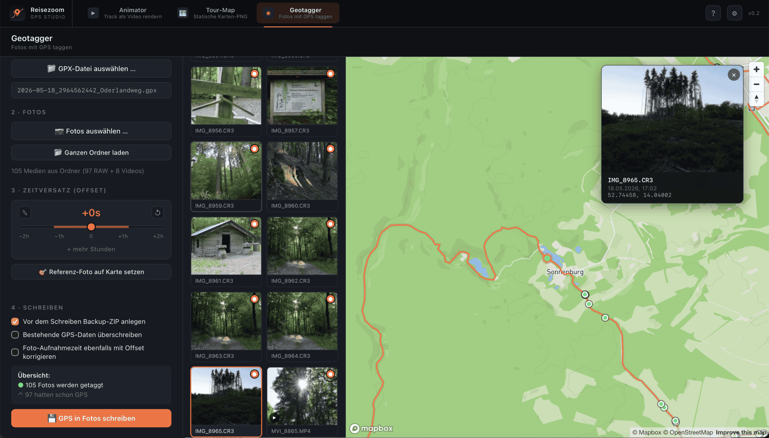
Give your JPEG photos GPS coordinates from your recorded track — matched by the time each photo was taken. Everything runs in your browser; your photos are never uploaded.

Want to turn this into a video?

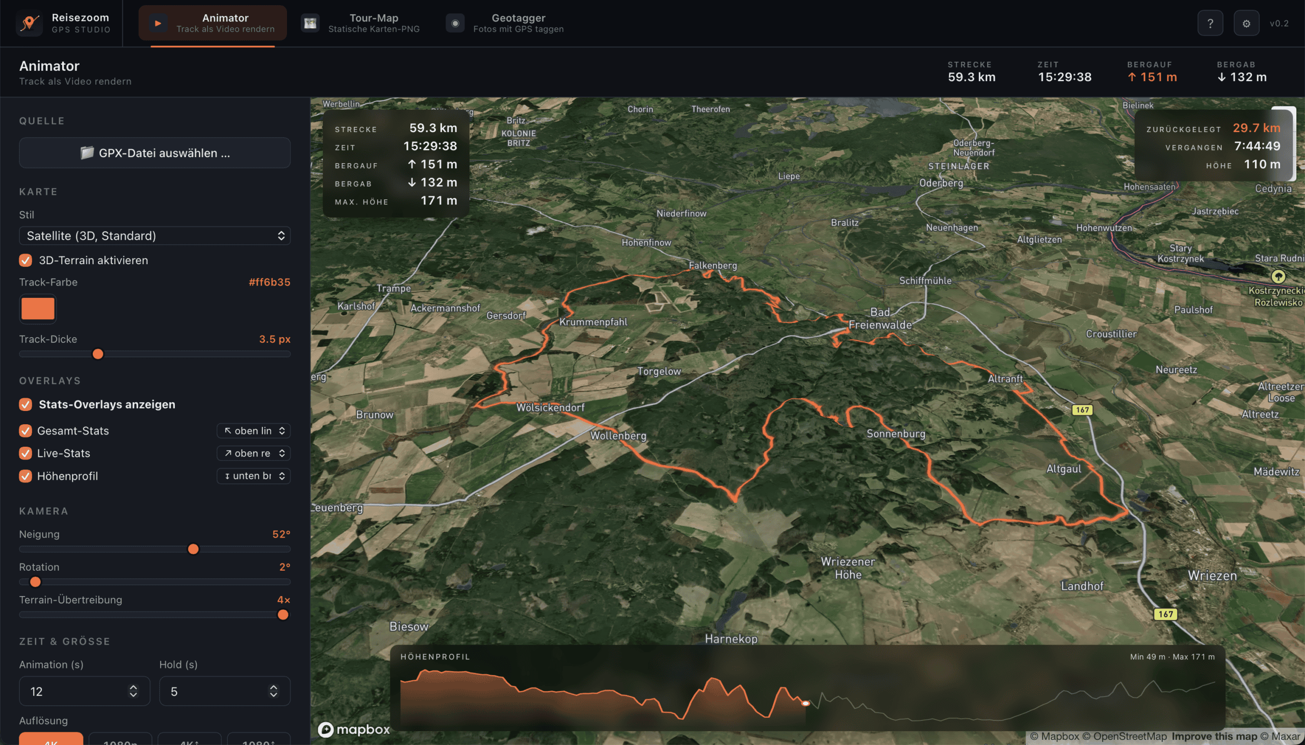
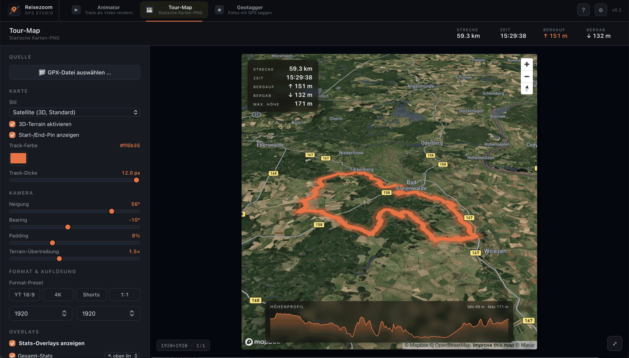
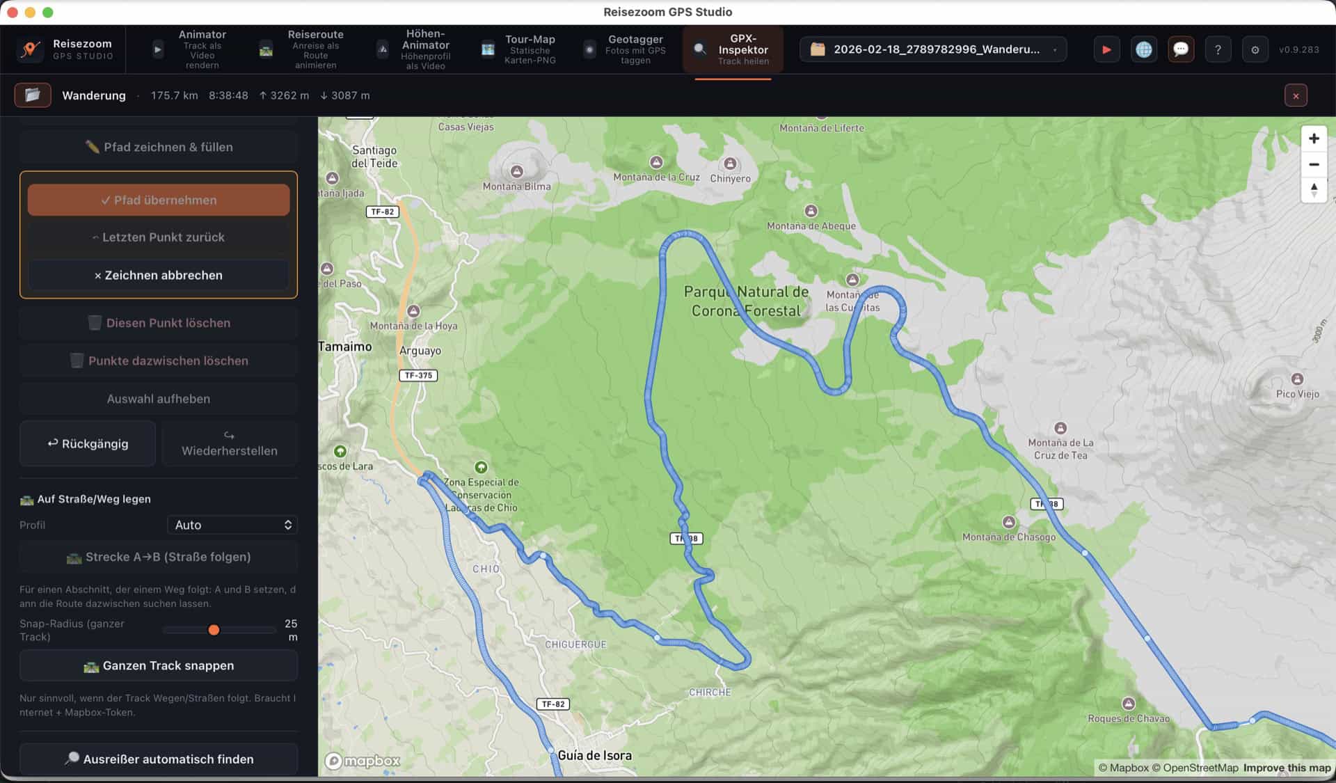
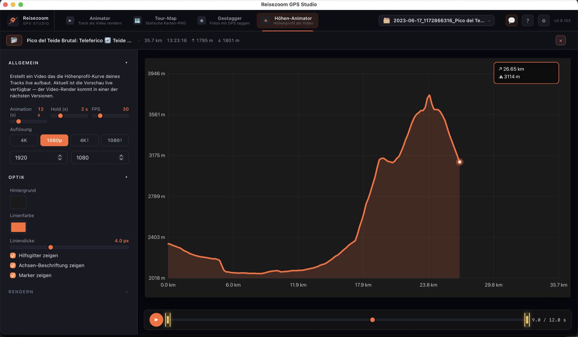
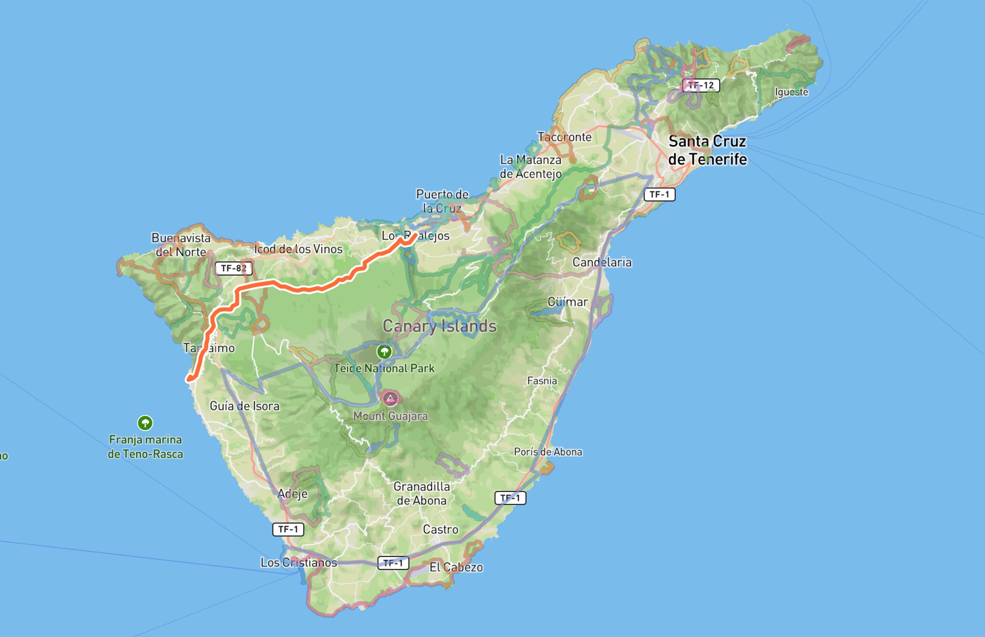
The free desktop app animates your track as a map fly-through video, makes elevation animations, tour images and photo geotagging — all in one, for YouTube & Reels.

Get the desktop app →

Load your GPS track (with timestamps), then add your JPEG photos. Each photo is matched to the nearest track point by its capture time and gets GPS coordinates written into it — then downloaded. If the camera clock is off, nudge it with the fine offset. Your photos stay on your device; nothing is uploaded.

FAQ

Are my photos uploaded?

No — reading EXIF and writing GPS happens entirely in your browser. Only the track (non-GPX) may be converted server-side.

Which photo formats?

JPEG. For RAW, HEIC or video use the free Reisezoom desktop app.

All free GPS tools

Feedback

Something off, an idea or a wish? Tell us — thanks!